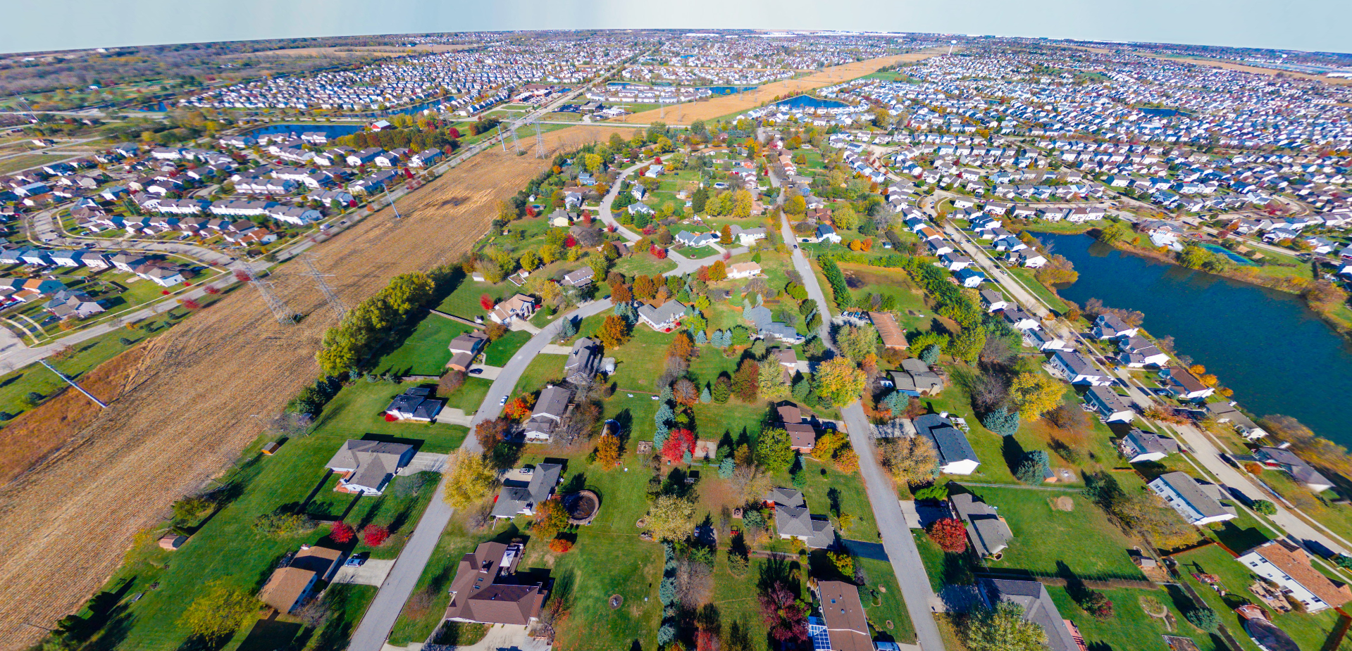
Drone photography and videography services give businesses a stronger way to showcase property, progress, events, and large-scale visuals from a perspective traditional photography cannot provide. ZonCom Marketing provides drone photography and videography services for commercial real estate, events, surveys, damage assessments, and aerial visualizations.
Aerial photography and drone video can help commercial properties stand out by showing the full building, surrounding area, lot size, access points, visibility, traffic flow, and nearby points of interest. We create aerial media for commercial real estate listings, property marketing, and development presentations that help buyers, investors, and stakeholders get a clearer understanding of the full property from above.
Nearby elements are highlighted
Nearby elements are highlighted
Nearby elements are highlighted
Nearby elements are highlighted
Nearby elements are highlighted
Nearby elements are highlighted
Nearby elements are highlighted
Nearby elements are highlighted
Nearby elements are highlighted
Aerial coverage adds a dynamic perspective to events by capturing crowd size, movement, scale, energy, and the overall layout of the experience. From public gatherings and outdoor performances to races, community events, and special productions, we create aerial photos and video that help document the event and produce stronger promotional content for future marketing.
Plainfield, IL
Plainfield, IL
Aerial media can provide a clearer and more efficient way to document storm damage, structural issues, site conditions, and large affected areas. We help capture visual information from above for damage assessments, site reviews, and project documentation, making it easier to understand scale, location, and impact from a broader perspective.
Coal City, IL
Ashton, Rochelle, Fairdale, IL
Crane Collapse onto Building
Severe Weather in Progress
Aerial visualizations help show what a project, development, or concept could look like before it is built or completed. We create pre-visualization and aerial imaging content that can support presentations, project planning, marketing, and stakeholder communication. This gives businesses and developers a clearer way to present ideas, site potential, and future plans from an aerial point of view.
Pre-visualtion of Construction Site
Pre-visualtion of Construction Site
Pre-visualtion of Construction Site
Pre-visualtion of Construction Site
FAA Part 107 Certificate Number: 4450534 / Supercedes 333 Exemption (Current)
NCDOT Certificate Number: C0010629 (Current)
FAA Section 333 Exemption: 11381 (2015-2017)
